Pubs: 3 (or more)
Longest distance between pubs: 7 miles
Footwear: Walking boots (unless it's been very dry)
Public transport: train and bus (50mins from Cardiff).
Sundayable: Absolutely NOT.
Some of the minimum feedback I get about this blog has been criticism that my walks don't have enough pubs. Those of you who feel this way are not going to like this walk. This is basically a coastal walk bookended by a couple of pubs. However, it is a very nice walk along the coast and it visits an almost perfect country pub (and the current high scorer on my pub scoring system).
This walk is best done on a sunny day, when there is no wind and when the tide is low in the mid-afternoon.

Get the train from Cardiff to Llantwit Major. These are hourly and leave Cathays at 31mins past the hour. I recommend getting the 10:31 or 11:31. On the train buy a return to Bridgend and then sit back. The train takes 50 minutes.
 Get off the train in Llantwit Major and leave the station. Walk across the car park using the two zebra crossings and then go down the steps into a second car park. Walk straight across the car park and through the gate marked "PoundField 1987". Turn right and resist the temptation to go into the toy shop. Walk towards the Co-op. This is a good place to buy a drink to have with your packed lunch. The staff here can be insanely rigorous about seeing ID so if you're a student you'll probably need your driving license with you.
 Turn left at the co-op and walk past Greggs and down the steps. This is also the last cash machine you'll go past before the walk really gets started. Don't use the zebra crossing instead turn right following the sigh for St Illud's Church. Continue down the road past the King's Head and White Lion pubs. If you are not wanting to go for a drink in Llantwit Major before starting the coastal walk turn left when you see the brown road sign to the beach. Assuming you are going to the pub keep going until you come to the Old Swan Inn and opposite it The Old White Hart. Both pubs are worth a visit, but aren't scored on my 2012 scoring system. The consensus amongst my friends is that The Old Swan Inn is the better of two, but often there's better beer in The Hart.
 After leaving the pub turn left retrace your steps to the turning for the beach. Turn right down Colhugh Street following the road signs pointing to the beach. Stay on this road for around half a mile passing at least one sign pointing to the beach. When the road ends at a small roundabout go straight on. The road will cross over a small stream and almost immediately there is a footpath leading off to the right. Go through the metal kissing gate and follow the foot path towards the beach. Around half way the the beach the footpath is replaced by tarmacked surface. Continue along the path keeping the stream to your right. When you reach the car park at what the road signs have rather generously called 'the beach' turn right and walk toward the cafe. Walk to the left of the cafe and then towards the public toilets. Take the paved path between the toilets and the metal fence. Continue up the steps onto the coastal path. From here on you are on the "Wales Cost Path" that is well signed with yellow arrows on a blue circle. I'm only going to give the briefest of directions. Walk along the coastal path. You'll know your going in the right direction if the sea is on your left. After around 1 mile you will approach St Donats ignore the path going down the beach and continue on the coastal path.


 After lunch go up the steps turn to the left when the path forks in the woodland then follow the coastal path until you reach the lighthouse at Nash point. The path takes you through the grounds of the lighthouse and then to the car park at Nash point. If the wind is really blowing and your keen to escape the coast then walk up the road into Marcoss and then straight into The Horse Shoe. Assuming you want to keep on with the hike then walk past the cafe to the small and pointless gate marked with the message "no fires or BBQs please". At this point you have to make a decision if you are going to walk along the beach to Monknash (only if it's a low tide) or the top of the cliff. I'll deal with each in turn.
 Along the Beach: after the gate turn left and follow the footpath down to the beach. Scramble over the wave cut platform and continue down the cost. It's about a mile to Monknash beach and there is a bit of climbing over rock pools. The going gets easier as you get to the end of the beach. Once you've rounded Monknash point you have to cross over the stream that crosses the beach. Opinion is divided about the best way to do this but I think your best to go down the beach towards the sea where the going is easier. To the left of the stream is the footpath to Monknash village. Use the small bridge and walk up the valley towards the village.
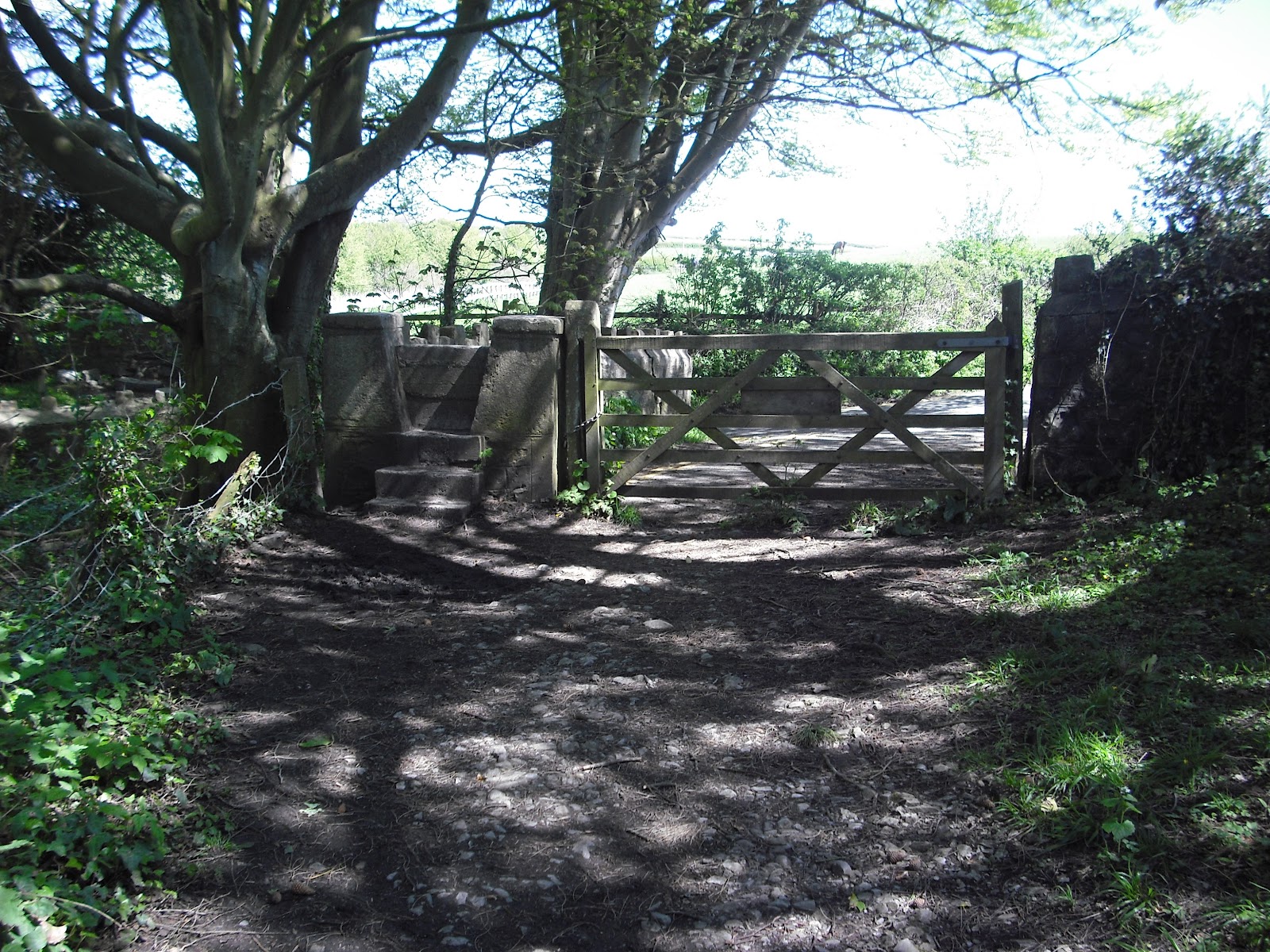 Along the coastal path: after the "no fires" gate turn right and follow the path down the hill, over the small bridge and then up the valley (or reentrant as an orienteerer would call it). You'll know you've gone the right way if you see the familiar yellow arrow on a blue background "Wales Coastal Path" sign. Use the style over the stone wall and continue for a mile. The path descends very steeply to join the path going up a valley towards Monknash.
Walk up the path towards Monknash with the stream to your right. Monknash beach is quiet popular and it's normal for there to be quiet at lot of traffic on this path. The path takes you through woodland and past an old mill, eventually ending at the gate (with style) where the road begins.
 At this point you could turn right and walk up the road towards the village but there is a shortcut across the fields. Turn left after the gate and then right over the style that is marked with a wooden way-marker. Cross the field keeping to the hedge on the left. At the end of the field cross over the style. Do not cross over the bridge. In the next field head for the far corner where there is a style that will let you back onto the road. However, you wont be able to see it until your reasonably close. Once over the style turn left and walk up the road. Within a quarter of a mile you will reach The Plough and Harrow.
 The Plough and Harrow is one of the best pubs in Britain and certainly a contender for best pub in Wales. It is on the Guardian's list of the 10 best pubs in Britain. It also has the honer of being the highest scoring Welsh pub in the Drunken Rambling 2012 Pub scoring system, scoring 92%***. The Plough has a large and sunny Beer-garden and an ultra-cosy interior with open fires and wooden beams. There is a good range of beer and an excellent range of ciders. I've had mixed success with the food in The Plough so can't really bring myself to recommend it.
When you leave the pub turn left and walk the sort distance to the bus stop. From here you can either get the bus or turn right and walk a mile down the road to Marcross. Once in the village go to The Horse Shoe.
The Horse Shoe is a very under-rated pub probably because it is so close to The Plough and Harrow. There is a large beer garden and good beer range. It scores 83%****.
After leaving the pub turn left, the bus stop is right next door. The 145 Bus arrives at ten past the hour and will take you to Bridgend. Press the button when you see Wilkinson's and then walk up Court Road to the train station. There are around 6 trains an hour to Cardiff.

No comments:
Post a Comment